Colorado GMU 140 deer hunting: 2024 harvest and hunter numbers
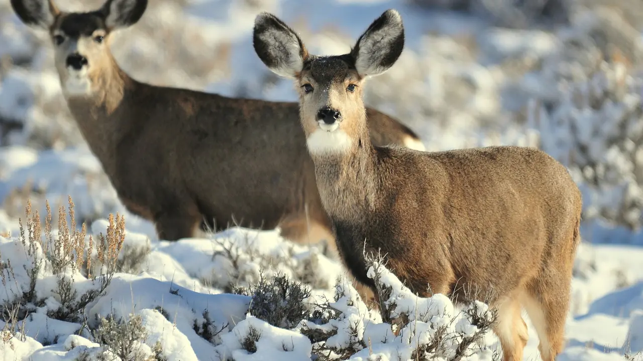
Unit 140, Las Animas County: 25% deer success in 2024, all deer licenses limited, public land mostly state wildlife areas and trust parcels.
In 2024, an estimated 183 deer hunters hunted Game Management Unit 140 across all seasons and took 45 deer, a success rate of 25%. The statewide rate that year was 43%.
That is 20 fewer hunters than 2023, when success was 29%.
2nd rifle was the busiest rifle season, with 48 hunters, about 10 for every 100 square miles of the unit.
4th rifle had the highest rifle success at 35%.
Among the 138 units with at least 100 rifle deer hunters, unit 140 ranked 130 for rifle success and 26 for fewest rifle hunters per square mile.
Unit 140 on the map: is it in your reach?
Unit 140 is lit on the map of the state. Say where you drive from and for how long, and a ring shows what that reaches. Pick another animal to see where it lives.
2024 deer harvest in unit 140, by season
| Season | Hunters | Harvest | Bucks / Does / Fawns | Success 2024 | Success 2023 | Hunters per 100 sq mi | Days per hunter |
|---|---|---|---|---|---|---|---|
| 2nd rifle | 48 | 13 | 13 / 0 / 0 | 27% | 19% | 10 | 3.8 |
| 3rd rifle | 44 | 4 | 4 / 0 / 0 | 9% | 35% | 10 | 3.8 |
| 4th rifle | 37 | 13 | 13 / 0 / 0 | 35% | - | 8 | 3.2 |
| All rifle seasons | 134 | 35 | 32 / 2 / 0 | 26% | 26% | 29 | 3.5 |
| Archery | 33 | 8 | 8 / 0 / 0 | 24% | 32% | 7 | 8.1 |
| Muzzleloader | 16 | 2 | 2 / 0 / 0 | 13% | 46% | 3 | 4.8 |
| All seasons and methods | 183 | 45 | 43 / 2 / 0 | 25% | 29% | 40 | 4.4 |
What these rows cover, and why public land runs busier.
Is unit 140 over the counter for deer in 2026?
No. Every 2026 deer license for unit 140 is limited: drawn, then leftover sales since Aug 4, 2026 (why, and the white-tailed exception).
How many preference points does it take to draw unit 140 deer?
In Colorado's 2026 primary draw, residents could draw every one of the 5 limited deer hunt codes for unit 140 with no preference points.
| Hunt code | Sex | Season | Licenses, 2026 | Residents, 2026 | Residents, 2025 | Residents, 2024 | Nonresidents, 2026 | Resident first choice drew, 2026 |
|---|---|---|---|---|---|---|---|---|
| DM140O1A | buck | archery Sep 2 to Sep 30 unit 140 in 2024, 33 hunters, 25% success | 60 | leftover | leftover | 2nd+ choice | leftover | 6 of 6 |
| DM140O1M | buck | muzzleloader Sep 12 to Sep 20 unit 140 in 2024, 16 hunters, 11% success | 20 | leftover | 2nd+ choice | 0 | leftover | 4 of 4 |
| DM140O2R | buck | 2nd rifle Oct 24 to Nov 1 unit 140 in 2024, 48 hunters, 27% success | 100 | leftover | leftover | leftover | leftover | 15 of 15 |
| DM140O3R | buck | 3rd rifle Nov 7 to Nov 15 unit 140 in 2024, 44 hunters, 10% success | 80 | leftover | leftover | leftover | leftover | 10 of 10 |
| DM140O4R | buck | 4th rifle Nov 18 to Nov 22 unit 140 in 2024, 37 hunters, 34% success | 55 | leftover | 2nd+ choice | leftover | leftover | 12 of 12 |
Each cell is CPW's "drawn out at" figure (what it, "2nd+ choice" and "leftover" mean). How codes are matched to the unit. Source: Colorado Parks and Wildlife, 2026 Primary DEER Post Draw Report and the draws before it (every report). Every deer hunt code · how points work.
2026 rifle season dates
- 2nd rifle: Oct 24-Nov 1
- 3rd rifle: Nov 7-15
- 4th rifle: Nov 18-22
Unit 140 deer: the record by year and by license
How much of unit 140 CPW maps as deer range
Mule deer: CPW maps 100% of unit 140 as overall range, 42% as summer range, 95% as winter range and 1% as severe winter range. White-tailed deer: CPW maps 100% of unit 140 as overall range, 2% as winter range.
| CPW range layer | Share of unit 140 | Square miles |
|---|---|---|
| Mule deer: overall range | 100% | about 459 |
| Mule deer: summer range | 42% | about 193 |
| Mule deer: winter range | 95% | about 436 |
| Mule deer: winter concentration area | 15% | about 69 |
| Mule deer: severe winter range | 1% | about 5 |
| Mule deer: concentration area | 20% | about 92 |
| White-tailed deer: overall range | 100% | about 459 |
| White-tailed deer: winter range | 2% | about 9 |
| White-tailed deer: concentration area (riparian) | 2% | about 9 |
What each layer means, how it is measured, and the map.
Unit 140's deer herd unit, D-32
CPW manages deer by herd units (Data Analysis Units) and places unit 140 in D-32, one of 3 units in it. CPW's 2025 survey for D-32: 1,262 deer hunters took 657 deer, 52% success, over 6,002 days.
Herd unit from CPW's GMU layer (CPWAdminData, read 2026-10-29); figures from the 2025 Colorado Deer Harvest Estimates.
2023 deer harvest in unit 140, by season
In 2023, CPW estimated 203 deer hunters in unit 140 across all seasons. They took 59 deer (59 bucks, 0 does, 0 fawns) over 897 days in the field: 29% success.
| Season, 2023 | Hunters | Harvest | Bucks / Does / Fawns | Success | Hunters per 100 sq mi | Days hunted |
|---|---|---|---|---|---|---|
| 2nd rifle | 72 | 14 | 14 / 0 / 0 | 19% | 16 | 205 |
| 3rd rifle | 62 | 22 | 22 / 0 / 0 | 35% | 14 | 225 |
| All rifle seasons | 137 | 36 | 36 / 0 / 0 | 26% | 30 | 446 |
| Archery | 53 | 17 | 17 / 0 / 0 | 32% | 12 | 388 |
| Muzzleloader | 13 | 6 | 6 / 0 / 0 | 46% | 3 | 63 |
| All seasons and methods | 203 | 59 | 59 / 0 / 0 | 29% | 44 | 897 |
2025 hunter success for each deer license valid in unit 140
CPW's 2025 survey reports 5 deer hunt codes valid in unit 140. Their holders, 172 hunters in all, took 84 deer. Among codes with at least 20 hunters, DM140O3R (buck, 3rd rifle) had the highest success: 60% from 45 hunters.
| Hunt code | License | Hunters, 2025 | Harvest | Bucks / Does / Fawns | Success | Days per hunter |
|---|---|---|---|---|---|---|
| DM140O2R | buck, 2nd rifle | 51 | 21 | 21 / 0 / 0 | 41.2% | 4.0 |
| DM140O3R | buck, 3rd rifle | 45 | 27 | 27 / 0 / 0 | 60% | 3.0 |
| DM140O4R | buck, 4th rifle | 35 | 19 | 19 / 0 / 0 | 54.3% | 3.1 |
| DM140O1A | buck, archery | 30 | 9 | 9 / 0 / 0 | 30% | 7.1 |
| DM140O1M | buck, muzzleloader | 11 | 8 | 8 / 0 / 0 | 72.7% | 5.0 |
Figures per code, all its units together (what that means). * CPW marks the code as one with few survey responses. From the 2025 Colorado Deer Harvest Estimates.
Who applied for unit 140 deer licenses, 2024 to 2026
Limited deer codes whose figures are on this page: 84 first-choice applicants for 315 licenses across 5 codes in 2026, 86 first-choice applicants for 315 licenses across 5 codes in 2025 and 82 first-choice applicants for 315 licenses across 5 codes in 2024.
| Hunt code | Draw year | Licenses | Residents: applied (drew) | Nonresidents: applied (drew) | Resident youth: applied (drew) | Nonresident youth: applied (drew) | All first-choice applicants |
|---|---|---|---|---|---|---|---|
| DM140O1A | 2026 | 60 | 6 (6) | 11 (11) | 17 | ||
| DM140O1A | 2025 | 60 | 6 (6) | 10 (10) | 16 | ||
| DM140O1A | 2024 | 60 | 11 (11) | 9 (9) | 20 | ||
| DM140O1M | 2026 | 20 | 4 (4) | 4 (4) | 8 | ||
| DM140O1M | 2025 | 20 | 2 (2) | 5 (5) | 1 (1) | 8 | |
| DM140O1M | 2024 | 20 | 3 (3) | 7 (7) | 1 (1) | 11 | |
| DM140O2R | 2026 | 100 | 15 (15) | 10 (10) | 3 (3) | 28 | |
| DM140O2R | 2025 | 100 | 9 (9) | 8 (8) | 2 (2) | 19 | |
| DM140O2R | 2024 | 100 | 5 (5) | 5 (5) | 1 (1) | 11 | |
| DM140O3R | 2026 | 80 | 10 (10) | 2 (2) | 12 | ||
| DM140O3R | 2025 | 80 | 9 (9) | 5 (5) | 4 (4) | 18 | |
| DM140O3R | 2024 | 80 | 10 (10) | 6 (6) | 1 (1) | 17 | |
| DM140O4R | 2026 | 55 | 12 (12) | 3 (3) | 1 (1) | 3 (3) | 19 |
| DM140O4R | 2025 | 55 | 18 (18) | 2 (2) | 2 (2) | 3 (3) | 25 |
| DM140O4R | 2024 | 55 | 13 (13) | 6 (6) | 1 (1) | 3 (3) | 23 |
First-choice applications only (how they are counted). Source: Colorado Parks and Wildlife, 2026 Primary DEER Post Draw Report and the draws before it (every report).
Named streams, summits, springs and towns in unit 140
USGS names 27 streams, 27 springs, 18 valleys, 16 reservoirs, 14 summits, 12 canals, 11 lakes and 7 populated places inside the unit. The longest named streams: San Isidro Creek (17.2 mi from source to mouth), Chaney Arroyo (10.2 mi from source to mouth), Rito Seco (10 mi from source to mouth), Salazar Arroyo (9.2 mi from source to mouth), Patton Arroyo (8.3 mi from source to mouth), Doss Arroyo (7.8 mi from source to mouth), Sauce Arroyo (7.7 mi from source to mouth) and San Miguel Creek (7.3 mi from source to mouth).
Named summits (the 6 highest of 14): Fishers Peak, 9,635 ft, Fishers Peak Mesa, 9,606 ft, Little Fishers Peak Mesa, 9,013 ft, Horseshoe Mesa, 8,782 ft, Burro Mesa, 8,746 ft and Bobblers Knob, 8,733 ft.
Named springs (12 of 27): Bathtub Spring, Bell Spring, Brown Spring, Cassidays Spring, Dick Messer Spring, Didero Spring, Dripping Spring, Dussar Spring, First Spring, Juan Abeyta Spring, Monique Spring and Negro Spring.
Named lakes and reservoirs: Demchek Lake, Dominguez Lake, Hoffman Lake, Jamieson Lake, Laguna Negra, Lake in the Hole, Mararski Lake and Medina Lake.
Towns and settlements inside the line, with their ground elevation: Abeyta (5,730 ft), Barela (5,761 ft), Beshoar (5,920 ft), Engleville (6,503 ft), San Miguel (6,848 ft), Trinchera (5,802 ft) and Trinidad (6,028 ft).
USGS GNIS names (Colorado file, downloaded 2026-10-29) and 3DEP elevations (how measured). Named places are not access.
Elevation bands and tree cover of unit 140: on the unit 140 elk page.
How steep is unit 140?
Measured from USGS 3DEP elevation, the ground inside unit 140 averages 6.1 degrees of slope, and one cell in ten is steeper than 17.1 degrees. 78.7% of the unit is under 10 degrees (about 361 sq mi); 0.9% is 30 degrees or steeper (about 4 sq mi).
| Slope | Share of unit 140 | Square miles |
|---|---|---|
| Under 10 degrees | 78.7% | 361 |
| 10 to 20 degrees | 14.6% | 67 |
| 20 to 30 degrees | 5.8% | 27 |
| 30 to 40 degrees | 0.7% | 3 |
| 40 degrees or more | 0.2% | 1 |
USGS 3DEP 1/3 arc-second elevation, read 2026-10-29 (how slope is measured).
What covers the ground in unit 140?
USDA's 2025 Cropland Data Layer maps unit 140 as 50.2% grassland/pasture, 25.8% shrubland and 13% evergreen forest. Crops of every kind cover 0.5% of the unit (about 2 sq mi).
| Cover, 2025 | Share of unit 140 | Square miles |
|---|---|---|
| Grassland/Pasture | 50.2% | 230 |
| Shrubland | 25.8% | 119 |
| Evergreen Forest | 13% | 60 |
| Deciduous Forest | 4.1% | 19 |
| Mixed Forest | 2.3% | 11 |
| Herbaceous Wetlands | 1.8% | 8 |
| Developed/Open Space | 0.8% | 4 |
| Developed/Low Intensity | 0.8% | 4 |
| Alfalfa | 0.5% | 3 |
USDA NASS Cropland Data Layer 2025, released 2026-03-25 (how cover is measured).
Which way do unit 140's slopes face?
34.6% of unit 140 has a slope of 5 degrees or more. Of that ground, 48.7% faces north, northeast or northwest and 25.1% faces south, southeast or southwest; the most common facing is north (17.4%).
| Slope faces | Share of unit 140's sloped ground |
|---|---|
| North | 17.4% |
| Northeast | 15.2% |
| East | 14.6% |
| Southeast | 10.3% |
| South | 6.9% |
| Southwest | 7.9% |
| West | 11.7% |
| Northwest | 16.1% |
USGS 3DEP 1/3 arc-second elevation, read 2026-10-29 (how facing is measured).
Named roads of unit 140: on the unit 140 elk page.
Public land and boundary of unit 140
Unit 140 covers about 459 square miles in Las Animas County.
Unit 140 has very little national forest or BLM land. Its public hunting ground is state land: 2 state wildlife areas, about 14,025 acres in or touching the unit. The largest are James M. John SWA and Lake Dorothey SWA. Each property has its own rules and closed dates: the rules for every CPW property in unit 140.
Shared notes: Deer units.
Public land in every unit Legal shooting hours for your dates Pack-out calculator First-hunt course
Ground in the unit runs from about 5,500 to 9,300 feet.
The official boundary of unit 140, as the 2026 Colorado Big Game brochure describes it, is on the unit 140 elk page.
More on the ground in unit 140
The parts of unit 140 that are the same whatever you hunt are on the unit 140 elk page:
- 2 Colorado Parks and Wildlife properties, about 12,700 acres, with the hunting CPW lists for each.
- Other big game licensed here: pronghorn (5 codes) and black bear (4 codes).
- 24 small game, upland bird and waterfowl seasons open in the unit in 2026-27.
Hunting unit 140 this fall?
Numbers tell you how busy a unit is. They do not tell you where to park, camp and sit. FilledTag builds one exact plan for your tag, with every pin checked against public land and road rules. Custom plans start at $39.99.
Map data for unit 140 has been downloaded. We still need to check whether your hunt has suitable public-land options. Some requests return no qualifying areas.
E-scouting unit 140: what it costs
A FilledTag plan for unit 140 is $39.99, or $79.99 for up to three plans in a season. You can check your hunt free first to see that the unit and your start point are covered. See what e-scouting services cost and what you get.
Unit 140 beside its neighbours
| Unit | Rifle hunters 2024 | Rifle success 2024 | Rifle hunters per 100 sq mi | National forest and BLM |
|---|---|---|---|---|
| Unit 140 (this unit) | 134 | 26% | 29 | 0% |
| Unit 141 | 33 | 70% | 14 | 0% |
| Unit 134 | 49 | 47% | 12 | 0% |
| Unit 147 | 55 | 18% | 17 | 4% |
| Unit 142 | 32 | 22% | 9 | 0% |
| Unit 851 | 72 | 57% | 16 | 1% |
| Unit 133 | 26 | 19% | 5 | 0% |
Every rifle season together, from the 2024 Colorado Deer Harvest Estimates (what the rows cover, how neighbours are chosen).
Compare these units side by side See unit 140 on the free hunting map Check unit 140 forecasts and nearby snow stations Unit 140 elk All deer units
Where these numbers come from
CPW's 2024 Colorado Deer Harvest Estimates and its 2023 report; how CPW's survey works.