Colorado GMU 137 elk hunting: 2024 harvest and hunter numbers
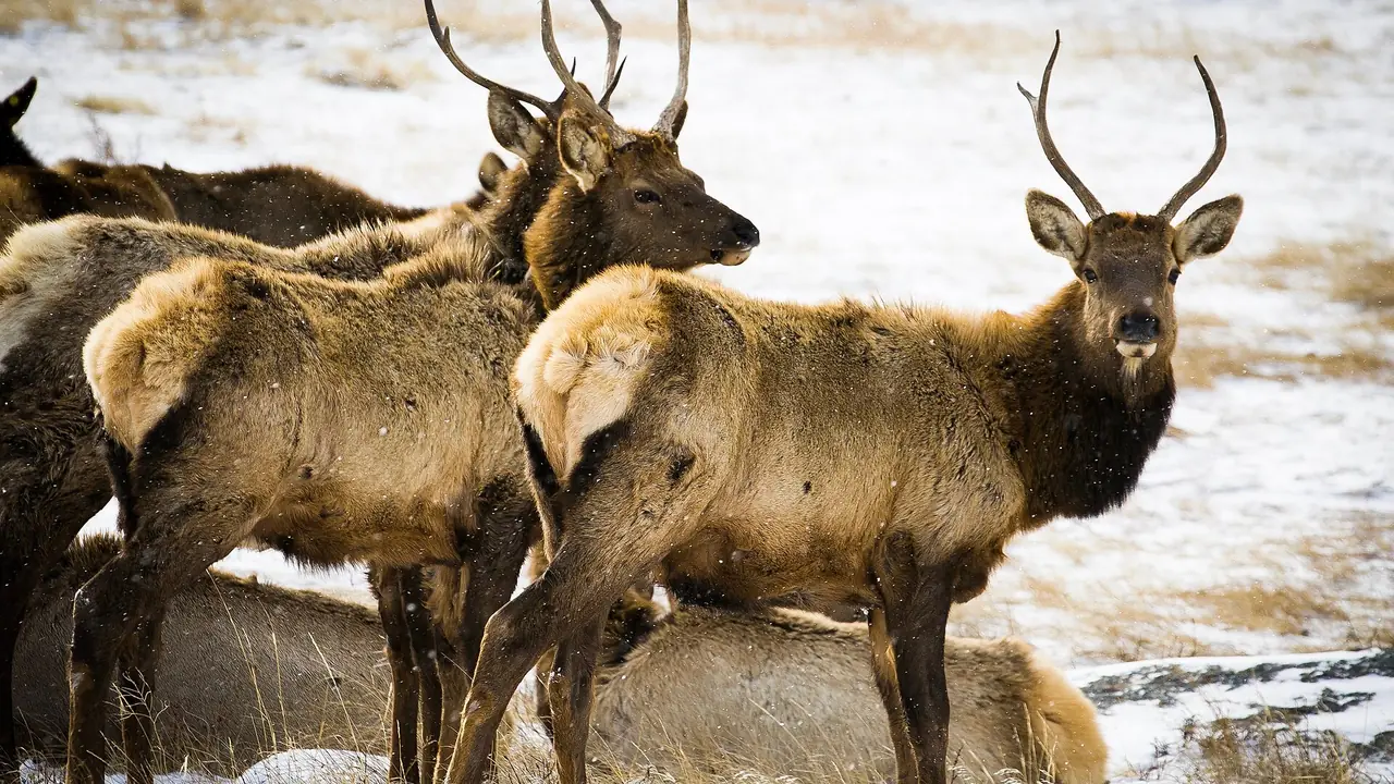
Unit 137, Las Animas and Baca counties: 46% elk success in 2024, over-the-counter rifle elk in 2026, about 10% national forest and BLM land.
In 2024, an estimated 50 elk hunters hunted Game Management Unit 137 across all seasons and took 23 elk, a success rate of 46%. The statewide rate that year was 20%.
That is 15 more hunters than 2023, when success was 26%.
Under 100 hunters: read these estimates as rough.
Unit 137 on the map: is it in your reach?
Unit 137 is lit on the map of the state. Say where you drive from and for how long, and a ring shows what that reaches. Pick another animal to see where it lives.
2024 elk harvest in unit 137, by season
| Season | Hunters | Harvest | Bulls / Cows / Calves | Success 2024 | Success 2023 | Hunters per 100 sq mi | Days per hunter |
|---|---|---|---|---|---|---|---|
| All rifle seasons | 47 | 23 | 14 / 6 / 3 | 49% | 26% | 8 | 4.7 |
| Archery | 3 | 0 | 0 / 0 / 0 | 0% | - | 1 | 5.7 |
| All seasons and methods | 50 | 23 | 14 / 6 / 3 | 46% | 26% | 9 | 4.8 |
What these rows cover, and why public land runs busier.
Is unit 137 over the counter for elk in 2026?
Yes. Unit 137 is on the 2026 over-the-counter list for rifle elk. Over-the-counter licenses are unlimited in number and went on sale on Aug 4.
| License | Who can buy it | Dates | Hunt code | Limits in this unit |
|---|---|---|---|---|
| Archery, either sex | Residents only | Sept 2-30 | E-E-000-U1-A | - |
| Archery, either sex | Nonresidents | Sept 2-30 | E-E-087-U1-A | - |
| Plains rifle, either sex | Residents and nonresidents | Sept 1-Jan 31, 2027 | E-E-087-U5-R | - |
Every other elk license for unit 137 is limited (which ones). Read from the 2026 Colorado Big Game brochure: check it before you buy.
More: every 2026 over-the-counter elk unit, and the 2nd rifle and 3rd rifle season guides.
Unit 137 elk: the record by year and by license
How much of unit 137 CPW maps as elk range
Elk: CPW maps 50% of unit 137 as overall range.
| CPW range layer | Share of unit 137 | Square miles |
|---|---|---|
| Elk: overall range | 50% | about 289 |
| Elk: resident population area | 50% | about 289 |
What each layer means, how it is measured, and the map.
Unit 137's elk herd unit, E-99
CPW manages elk by herd units (Data Analysis Units) and places unit 137 in E-99, one of 49 units in it. CPW's 2025 survey for E-99: 1,656 elk hunters took 384 elk, 23% success, over 12,647 days.
Herd unit from CPW's GMU layer (CPWAdminData, read 2026-10-29); figures from the 2025 Colorado Elk Harvest Estimates.
2023 elk harvest in unit 137, by season
In 2023, CPW estimated 35 elk hunters in unit 137 across all seasons. They took 9 elk (9 bulls, 0 cows, 0 calves) over 164 days in the field: 26% success.
| Season, 2023 | Hunters | Harvest | Bulls / Cows / Calves | Success | Hunters per 100 sq mi | Days hunted |
|---|---|---|---|---|---|---|
| All rifle seasons | 35 | 9 | 9 / 0 / 0 | 26% | 6 | 164 |
| All seasons and methods | 35 | 9 | 9 / 0 / 0 | 26% | 6 | 164 |
How high and how wooded is unit 137?
Inside CPW's official line, unit 137 (577.6 square miles) runs from 4,378 to 5,665 feet, with a mean of 4,982 feet; four-fifths of it lies between 4,610 and 5,316 feet. Tree canopy averages 0.7%: 96.2% of the unit is open (under 10% canopy), 3.8% partly wooded and 0% wooded (50% or more).
| Elevation band | Share of unit 137 |
|---|---|
| 4,000 to 4,500 ft | 2.6% |
| 4,500 to 5,000 ft | 48.1% |
| 5,000 to 5,500 ft | 45.9% |
| 5,500 to 6,000 ft | 3.4% |
USGS 3DEP elevation and NLCD 2021 Tree Canopy Cover, read 2026-10-29 (how measured).
Named streams, summits, springs and towns in unit 137: on the unit 137 deer page.
Which national forest roads in unit 137 are open in rifle season?
The Forest Service's Motor Vehicle Use Maps designate about 52 miles of road inside unit 137, on 45 routes of the Pike and San Isabel National Forests: 52 miles open to all vehicles and 0 to highway-legal vehicles only. On every 2026 rifle opener (Oct. 14, Oct. 24, Nov. 7 and Nov. 18), 52 miles are open to a high-clearance vehicle.
| Forest road | Name | Miles inside unit 137 | Open to | Dates open, high-clearance vehicles |
|---|---|---|---|---|
| 2323 | Bridge | 4 | all vehicles | all year |
| 2323.B | Middle Section Line | 3.5 | all vehicles | all year |
| 2343 | 4B Middle | 2.6 | all vehicles | all year |
| 2323.A | West Mill | 2.5 | all vehicles | all year |
| 2324 | Ou Draw | 2.5 | all vehicles | all year |
| 2329 | Crested Wheat | 2.4 | all vehicles | all year |
| 2323.C | Andrix Pipeline | 2.3 | all vehicles | all year |
| 2349.A | 4K South Well | 2.1 | all vehicles | all year |
| 2321 | 11D Windmill | 2.1 | all vehicles | all year |
| 2346 | 4C P.D. | 1.7 | all vehicles | all year |
| 2349 | 4K South | 1.6 | all vehicles | all year |
| 2338 | 4Cn | 1.5 | all vehicles | all year |
| 2326 | Hilltop Water Lot | 1.4 | all vehicles | all year |
| 2323.E | North Twin | 1.3 | all vehicles | all year |
| 2322 | 11E Windmill | 1.2 | all vehicles | all year |
| 2329.B | Crested Wheat Grade | 1.2 | all vehicles | all year |
| 2330 | Savory East | 1.2 | all vehicles | all year |
| 2348 | 4J Access | 1 | all vehicles | all year |
| 2321.A | Doris Trail | 1 | all vehicles | all year |
| 2346.A | 4C Twin | 1 | all vehicles | all year |
USDA Forest Service, Motor Vehicle Use Map: Roads, read 2026-10-29 (how these miles are measured). How to read a Motor Vehicle Use Map before you drive.
What roads run through unit 137?
Census TIGER/Line 2025 maps about 412 miles of road inside unit 137's line, 0.7 miles for every square mile: 41.4 miles of secondary highway, 359.1 miles of local and county road, 6.9 miles of vehicular trail (four-wheel-drive track) and 3.9 miles of private service road. 110 named roads cross the unit; the longest inside it is US Hwy 160, 22.5 miles.
| Named road | Census class | Miles inside unit 137 | Ground along it |
|---|---|---|---|
| US Hwy 160 | secondary highway | 22.5 | 4,796 to 5,665 ft |
| Co Rd 10 | local or county road | 16.7 | 4,689 to 4,938 ft |
| Co Rd 211 | local or county road | 14.7 | 4,588 to 5,222 ft |
| Co Rd 223 | local or county road | 12.6 | 4,400 to 5,341 ft |
| Co Rd 215 | local or county road | 12.5 | 4,952 to 5,393 ft |
| Co Rd 52 | local or county road | 12 | 5,057 to 5,381 ft |
| Co Rd 215.5 | local or county road | 10.8 | 4,893 to 5,154 ft |
| Co Rd CC | local or county road | 10.2 | 4,868 to 5,217 ft |
| Co Rd 6 | local or county road | 9.5 | 4,746 to 5,073 ft |
| Co Rd 8 | local or county road | 9.2 | 4,881 to 4,993 ft |
| Co Rd 90 | local or county road | 8.7 | 4,461 to 4,562 ft |
| Co Rd 66 | local or county road | 8.4 | 4,934 to 5,281 ft |
| Co Rd 76.8 | local or county road | 8.1 | 4,529 to 5,062 ft |
| Co Rd Aa | local or county road | 7.8 | 4,905 to 5,246 ft |
| State Hwy 109 | secondary highway | 7.7 | 4,535 to 5,662 ft |
| Co Rd 0 | local or county road | 6.8 | 4,746 to 5,232 ft |
| Co Rd 48 | local or county road | 6.8 | 5,119 to 5,281 ft |
| Co Rd 62 | local or county road | 6.8 | 5,065 to 5,297 ft |
| Co Rd Ff | local or county road | 6.7 | 4,821 to 5,010 ft |
| Co Rd 2 | local or county road | 6.6 | 4,562 to 5,188 ft |
| Co Rd Dd | local or county road | 6.1 | 4,806 to 5,092 ft |
| Co Rd Kk | local or county road | 6 | 4,747 to 4,989 ft |
| Muddy Gap Rd | local or county road | 5.2 | 4,459 to 4,527 ft |
| Co Rd O | local or county road | 5 | 4,787 to 4,962 ft |
| Co Rd 5 | local or county road | 5 | 4,696 to 5,078 ft |
U.S. Census Bureau TIGER/Line 2025 roads, downloaded 2026-10-29; ground along each road from USGS 3DEP (how measured, and why a mapped road is not access).
Slope, land cover and the way slopes face of unit 137: on the unit 137 deer page.
Public land and boundary of unit 137
Unit 137 covers about 578 square miles in Las Animas and Baca counties.
About 10% of unit 137 is federal land that is generally open to hunting: 10% national forest or grassland. The rest of the unit.
State land adds to that: 3 state trust parcels open through Colorado Parks and Wildlife, about 1,941 acres in or touching the unit. The largest are Utelyville STL, Lone Rock STL and Savory East STL. Each has its own rules and closed dates: the rules for every CPW property in unit 137.
Shared notes: Elk units.
Public land in every unit Legal shooting hours for your dates Pack-out calculator First-hunt course
Ground in the unit runs from about 4,500 to 5,600 feet.
Official boundary
Las Animas & Baca Cos. bounded on N by Bent-Las Animas & Bent-Baca Co. lines; on E by Pritchett-Las Animas improved Rd. and U.S. 160; on S by U.S. 160; on W by Colo. 109. 71
Boundary as described in the 2026 Colorado Big Game brochure. How land shares are measured.
State wildlife areas and trust lands in unit 137
Colorado Parks and Wildlife lists 3 of its properties in unit 137, about 1,943 acres in all. Each has its own rules, and some are closed for part of the year or to some kinds of hunting: open a property for what is printed for it.
| Property | Kind | Acres | Hunting CPW lists there |
|---|---|---|---|
| Utelyville STL | State trust land | 657 | Bobcat, Coyote, Deer, Elk, Furbearer, Pronghorn, Quail, Rabbit |
| Lone Rock STL | State trust land | 646 | Bobcat, Coyote, Deer, Elk, Furbearer, Pronghorn, Quail, Rabbit |
| Savory East STL | State trust land | 640 | Bobcat, Coyote, Deer, Furbearer, Pronghorn, Quail, Rabbit |
From Colorado Parks and Wildlife's own property pages. How to read the hunting column.
Other big game licensed in unit 137
- Pronghorn: 6 hunt codes valid here, with seasons between Aug 15 and Dec 31 (archery, muzzleloader and rifle).
Counted from the hunt code tables of the 2026 Colorado Big Game brochure. What the count means.
Small game and bird seasons open in unit 137
27 small game, upland bird and waterfowl seasons cover unit 137 in the 2026-27 season year. A small game plan for any of them is free while the first ones last.
| Species | Season in unit 137 | Daily bag |
|---|---|---|
| Dark geese (Canada, cackling, white-fronted) | Nov 2 to Feb 14, 2027 | 5 |
| Ducks (dabblers) | Oct 28 to Jan 31, 2027 | 6 |
| Ducks (divers) | Oct 28 to Jan 31, 2027 | 6 |
| Gambel's quail | Nov 14 to Jan 31, 2027 | 8 |
| Light geese (snow and Ross's) | Oct 31 to Feb 14, 2027 | 50 |
| Northern bobwhite | Nov 14 to Jan 31, 2027 | 8 |
| Pheasant | Nov 14 to Jan 31, 2027 | 3 |
| Sandhill crane | Oct 3 to Nov 29 | 3 |
| Scaled quail | Nov 14 to Jan 31, 2027 | 8 |
| White-tailed ptarmigan | Sep 12 to Oct 4 | 3 |
17 more seasons are open statewide, so in unit 137 too: every Colorado small game season, with its dates.
Dates and limits as read from Colorado Parks and Wildlife's 2026-27 small game and waterfowl brochures. Seasons that cover part of a unit.
Hunting unit 137 this fall?
Numbers tell you how busy a unit is. They do not tell you where to park, camp and sit. FilledTag builds one exact plan for your tag, with every pin checked against public land and road rules. Custom plans start at $39.99.
Map data for unit 137 has been downloaded. We still need to check whether your hunt has suitable public-land options. Some requests return no qualifying areas.
E-scouting unit 137: what it costs
A FilledTag plan for unit 137 is $39.99, or $79.99 for up to three plans in a season. You can check your hunt free first to see that the unit and your start point are covered. See what e-scouting services cost and what you get.
Unit 137 beside its neighbours
| Unit | Rifle hunters 2024 | Rifle success 2024 | Rifle hunters per 100 sq mi | National forest and BLM |
|---|---|---|---|---|
| Unit 137 (this unit) | 47 | 49% | 8 | 10% |
| Unit 136 | 82 | 21% | 14 | 6% |
| Unit 144 | 120 | 26% | 19 | 32% |
| Unit 130 | 63 | 8% | 13 | 7% |
| Unit 143 | 140 | 48% | 20 | 4% |
| Unit 146 | 91 | 14% | 10 | 0% |
| Unit 147 | 97 | 27% | 30 | 4% |
Every rifle season together, from the 2024 Colorado Elk Harvest Estimates (what the rows cover, how neighbours are chosen).
Compare these units side by side See unit 137 on the free hunting map Check unit 137 forecasts and nearby snow stations Unit 137 deer All elk units
Where these numbers come from
CPW's 2024 Colorado Elk Harvest Estimates and its 2023 report; how CPW's survey works.