Colorado GMU 78 elk hunting: 2024 harvest and hunter numbers
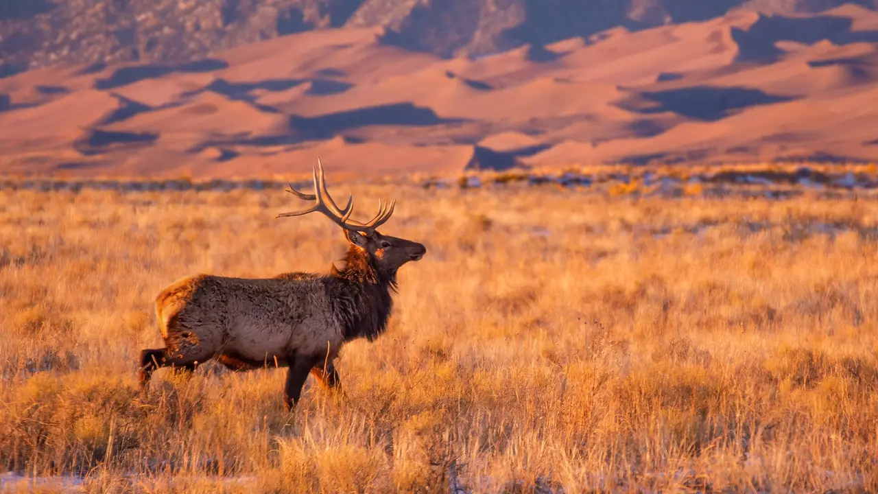
Unit 78, Archuleta, Conejos, Mineral and Rio Grande counties: 27% elk success in 2024, over-the-counter rifle elk in 2026, about 62% national forest and BLM land.
In 2024, an estimated 2,754 elk hunters hunted Game Management Unit 78 across all seasons and took 731 elk, a success rate of 27%. The statewide rate that year was 20%.
That is 125 fewer hunters than 2023, when success was 14%.
2nd rifle was the busiest rifle season, with 871 hunters, about 114 for every 100 square miles of the unit.
1st rifle had the highest rifle success at 32%.
Among the 130 units with at least 100 rifle elk hunters, unit 78 ranked 40 for rifle success and 88 for fewest rifle hunters per square mile.
Unit 78 on the map: is it in your reach?
Unit 78 is lit on the map of the state. Say where you drive from and for how long, and a ring shows what that reaches. Pick another animal to see where it lives.
2024 elk harvest in unit 78, by season
| Season | Hunters | Harvest | Bulls / Cows / Calves | Success 2024 | Success 2023 | Hunters per 100 sq mi | Days per hunter |
|---|---|---|---|---|---|---|---|
| 1st rifle | 359 | 115 | 112 / 1 / 2 | 32% | 25% | 47 | 3.5 |
| 2nd rifle | 871 | 240 | 235 / 4 / 0 | 28% | 13% | 114 | 5.0 |
| 3rd rifle | 588 | 171 | 163 / 5 / 3 | 29% | 5% | 77 | 4.3 |
| 4th rifle | 55 | 16 | 9 / 7 / 0 | 29% | 27% | 7 | 3.3 |
| All rifle seasons | 1,874 | 543 | 519 / 18 / 5 | 29% | 14% | 246 | 4.4 |
| Archery | 737 | 147 | 131 / 16 / 0 | 20% | 14% | 97 | 7.3 |
| Muzzleloader | 143 | 41 | 41 / 0 / 0 | 29% | 19% | 19 | 5.5 |
| All seasons and methods | 2,754 | 731 | 691 / 35 / 5 | 27% | 14% | 361 | 5.3 |
What these rows cover, and why public land runs busier.
Is unit 78 over the counter for elk in 2026?
Yes. Unit 78 is on the 2026 over-the-counter list for rifle elk. Over-the-counter licenses are unlimited in number and went on sale on Aug 4.
Valid here with no limit particular to unit 78: E-M-000-U2-R (2nd), E-M-000-U3-R (3rd). Their dates, who can buy them and prices: every 2026 over-the-counter elk unit.
Every other elk license for unit 78 is limited (which ones). Read from the 2026 Colorado Big Game brochure: check it before you buy.
How many preference points does it take to draw unit 78 elk?
In Colorado's 2026 primary draw, the elk hunt code for unit 78 that took the most resident preference points was EF077O3R (cow, 3rd rifle): 4 points for residents and 7 for nonresidents. Residents could draw 5 of the unit's 10 limited elk codes with no points.
Also valid in unit 78, with their points by year on another unit's page: EF077O3R, EF077O4R, EF077O1R, EF077O2R, EF077P4R, EM077O1R, EM077O4R, EF077P1R, EM077P1R, EM077P4R (unit 77).
Each cell is CPW's "drawn out at" figure (what it, "2nd+ choice" and "leftover" mean). How codes are matched to the unit. Source: Colorado Parks and Wildlife, 2026 Primary ELK Post Draw Report and the draws before it (every report). Every elk hunt code · how points work.
Which other 2026 elk licenses are valid in unit 78?
Besides the drawn hunt codes above, 2 more elk hunt codes can be hunted in unit 78 in 2026.
| Hunt code | Sex | Season | Dates | Notes |
|---|---|---|---|---|
| E-M-000-U2-R | Bull | 2nd rifle unit 78 in 2024, 871 hunters, 28% success | Oct 24 to Nov 1 | Over the counter; Valid in 90 units |
| E-M-000-U3-R | Bull | 3rd rifle unit 78 in 2024, 588 hunters, 29% success | Nov 7 to Nov 15 | Over the counter; Valid in 90 units |
Read from the 2026 Colorado Big Game brochure. Which codes are left out. How to read a hunt code.
2026 rifle season dates
- 1st rifle: Oct 14-18
- 2nd rifle: Oct 24-Nov 1
- 3rd rifle: Nov 7-15
- 4th rifle: Nov 18-22
Unit 78 elk: the record by year and by license
How much of unit 78 CPW maps as elk range
Elk: CPW maps 99% of unit 78 as overall range, 99% as summer range, 49% as winter range and 11% as severe winter range.
| CPW range layer | Share of unit 78 | Square miles |
|---|---|---|
| Elk: overall range | 99% | about 755 |
| Elk: summer range | 99% | about 755 |
| Elk: summer concentration area | 31% | about 237 |
| Elk: winter range | 49% | about 374 |
| Elk: winter concentration area | 31% | about 237 |
| Elk: severe winter range | 11% | about 84 |
| Elk: production (calving) area | 29% | about 221 |
| Elk: resident population area | 12% | about 92 |
What each layer means, how it is measured, and the map.
Unit 78's elk herd unit, E-31
CPW manages elk by herd units (Data Analysis Units) and places unit 78 in E-31, one of 5 units in it. CPW's 2025 survey for E-31: 9,649 elk hunters took 1,868 elk, 19% success, over 50,995 days.
Herd unit from CPW's GMU layer (CPWAdminData, read 2026-10-29); figures from the 2025 Colorado Elk Harvest Estimates.
2023 elk harvest in unit 78, by season
In 2023, CPW estimated 2,879 elk hunters in unit 78 across all seasons. They took 402 elk (351 bulls, 44 cows, 8 calves) over 15,473 days in the field: 14% success.
| Season, 2023 | Hunters | Harvest | Bulls / Cows / Calves | Success | Hunters per 100 sq mi | Days hunted |
|---|---|---|---|---|---|---|
| 1st rifle | 362 | 92 | 86 / 3 / 3 | 25% | 47 | 1,272 |
| 2nd rifle | 1,018 | 135 | 132 / 1 / 1 | 13% | 133 | 5,299 |
| 3rd rifle | 543 | 28 | 25 / 3 / 0 | 5% | 71 | 2,378 |
| 4th rifle | 48 | 13 | 5 / 8 / 0 | 27% | 6 | 149 |
| All rifle seasons | 1,971 | 268 | 248 / 16 / 4 | 14% | 258 | 9,099 |
| Archery | 762 | 106 | 85 / 21 / 0 | 14% | 100 | 5,500 |
| Muzzleloader | 146 | 28 | 18 / 7 / 4 | 19% | 19 | 874 |
| All seasons and methods | 2,879 | 402 | 351 / 44 / 8 | 14% | 377 | 15,473 |
CPW's 2025 survey figures for 10 more codes valid in unit 78 and other units are on the unit 77 page (EM077O1R, EM077O4R, EM077P1R, EM077P4R, EF077O1R, EF077O2R, EF077O3R, EF077O4R, EF077P1R, EF077P4R).
Applicants by draw year for 10 more codes valid in unit 78 and other units are on the unit 77 page (EF077O1R, EF077O2R, EF077O3R, EF077O4R, EF077P1R, EF077P4R, EM077O1R, EM077O4R, EM077P1R, EM077P4R).
Named streams, summits, springs and towns in unit 78
USGS names 80 streams, 42 valleys, 34 summits, 25 lakes, 17 canals, 14 flats, 9 springs and 8 reservoirs inside the unit. The longest named streams: Godby Wash (53.2 mi from source to mouth), Navajo River (32.4 mi from source to mouth), Rio Blanco (24.5 mi from source to mouth), West Fork San Juan River (14.7 mi from source to mouth), Rito Blanco (13.2 mi from source to mouth), Fourmile Creek (12.4 mi from source to mouth), Mill Creek (11.3 mi from source to mouth) and East Fork San Juan River (10.7 mi from source to mouth).
Named summits (the 6 highest of 34): Montezuma Peak, 13,137 ft, Long Trek Mountain, 12,856 ft, Banded Peak, 12,779 ft, Red Mountain, 12,615 ft, Cherry Cairn, 12,504 ft and Blackhead Peak, 12,493 ft.
Named springs: Felix Spring, Hot Springs, Newton Spring, Pagosa Springs, Paul Spring, Pescar Springs, Rainbow Hot Springs and Stinking Springs.
Named lakes and reservoirs: Beaver Lake, Borns Lake, Bull Elk Pond, Coyote Park, Crater Lake, Dolomite Lake, Fall View Lake and Fish Lake.
Towns and settlements inside the line, with their ground elevation: Chromo (7,293 ft), Edith (7,074 ft), Juanita (6,367 ft), Treasure (7,300 ft) and Trujillo (6,572 ft).
USGS GNIS names (Colorado file, downloaded 2026-10-29) and 3DEP elevations (how measured). Named places are not access.
Elevation bands and tree cover of unit 78: on the unit 78 deer page.
Which national forest roads in unit 78 are open in rifle season?
The Forest Service's Motor Vehicle Use Maps designate about 181.7 miles of road inside unit 78, on 82 routes of the San Juan National Forest: 181.6 miles open to all vehicles and 0.1 to highway-legal vehicles only; 181.6 miles are open only part of the year. On every 2026 rifle opener (Oct. 14, Oct. 24, Nov. 7 and Nov. 18), 180.3 miles are open to a high-clearance vehicle.
| Forest road | Name | Miles inside unit 78 | Open to | Dates open, high-clearance vehicles |
|---|---|---|---|---|
| 667 | East Fork | 17.3 | all vehicles | 05/15-12/14 |
| 665 | Nipple Mtn | 10.3 | all vehicles | 05/15-12/14 |
| 653 | Valle Seco | 8.7 | all vehicles | 05/01-11/30 |
| 664 | Big Branch | 7.7 | all vehicles | 05/15-12/14 |
| 731 | Price Lakes | 7.5 | all vehicles | 05/15-12/14 |
| 024 | Porcupine | 7.4 | all vehicles | 05/15-12/14 |
| 663 | Buckles Lake | 7.4 | all vehicles | 05/15-12/14 |
| 039 | Fall Crk | 7.4 | all vehicles | 06/01-12/14 |
| 660 | Castle Crk | 6.7 | all vehicles | 05/15-12/14 |
| 012 | Blue Crk | 5.9 | all vehicles | 05/15-12/14 |
| 738 | Laughlin Crk | 5.7 | all vehicles | 05/15-12/14 |
| 651 | Eight Mile | 5.3 | all vehicles | 05/15-12/14 |
| 006 | Kenney Flats | 5.2 | all vehicles | 05/15-12/14 |
| 037 | Jackson Mtn | 4.5 | all vehicles | 05/15-12/14 |
| 684 | Quartz Crk | 4 | all vehicles | 05/15-12/14 |
| 725 | Wolf Crk | 3.7 | all vehicles | 06/01-12/14 |
| 029 | Echo Canyon | 3.5 | all vehicles | 05/15-12/14 |
| 666 | Fawn Gulch | 3.5 | all vehicles | 05/15-12/14 |
| 648 | West Fork | 3.1 | all vehicles | 05/15-12/14 |
| 647 | Turkey Crk | 2.9 | all vehicles | 05/15-12/14 |
USDA Forest Service, Motor Vehicle Use Map: Roads, read 2026-10-29 (how these miles are measured). How to read a Motor Vehicle Use Map before you drive.
What roads run through unit 78?
Census TIGER/Line 2025 maps about 782 miles of road inside unit 78's line, 1.0 miles for every square mile: 50.7 miles of secondary highway, 662.3 miles of local and county road, 24.2 miles of vehicular trail (four-wheel-drive track) and 33 miles of private service road. 331 named roads cross the unit; the longest inside it is US Hwy 84, 27.9 miles.
| Named road | Census class | Miles inside unit 78 | Ground along it |
|---|---|---|---|
| US Hwy 84 | secondary highway | 27.9 | 7,008 to 7,853 ft |
| US Hwy 160 | secondary highway | 22.7 | 7,077 to 10,854 ft |
| Co Rd 326 | local or county road | 12.1 | 7,121 to 8,268 ft |
| Blanco Basin Rd | local or county road | 11.8 | 7,121 to 8,232 ft |
| Montezuma Rd | local or county road | 10.8 | 6,544 to 7,558 ft |
| Co Rd 542 | local or county road | 10.8 | 6,544 to 7,558 ft |
| Fr 24 | local or county road | 10 | 8,395 to 10,026 ft |
| Co Rd 382 | local or county road | 9.9 | 7,309 to 7,968 ft |
| Navajo River Rd | local or county road | 9.9 | 7,309 to 7,968 ft |
| Valle Seco Rd | local or county road | 9.9 | 7,171 to 7,851 ft |
| FS Rd 653 | local or county road | 9.9 | 7,171 to 7,851 ft |
| Co Rd 667 | local or county road | 8.8 | 7,976 to 9,199 ft |
| Co Rd 302 | local or county road | 8.5 | 7,166 to 8,503 ft |
| Co Rd 359 | local or county road | 7.9 | 7,049 to 7,482 ft |
| Coyote Park Rd | local or county road | 7.9 | 7,049 to 7,482 ft |
| R 382 | local or county road | 7.7 | 7,932 to 8,437 ft |
| Price Lakes Rd | local or county road | 7.7 | 7,885 to 9,409 ft |
| Usfs 731 | local or county road | 7.7 | 7,885 to 9,409 ft |
| Indian Rte 153 | local or county road | 7.3 | 6,406 to 8,161 ft |
| Fr 663 | local or county road | 6.9 | 7,832 to 9,595 ft |
| Running Horse Pl | local or county road | 6.8 | 7,412 to 8,430 ft |
| Great Spirit Rd | local or county road | 6.5 | 7,038 to 8,483 ft |
| Indian Rte 154 | local or county road | 6.5 | 7,038 to 8,483 ft |
| Lower Blanco Rd | local or county road | 6.4 | 6,697 to 7,117 ft |
| Co Rd 725 | local or county road | 6.1 | 10,121 to 11,205 ft |
U.S. Census Bureau TIGER/Line 2025 roads, downloaded 2026-10-29; ground along each road from USGS 3DEP (how measured, and why a mapped road is not access).
Wilderness and protected areas, slope, land cover and the way slopes face of unit 78: on the unit 78 deer page.
Public land and boundary of unit 78
Unit 78 covers about 763 square miles in Archuleta, Conejos, Mineral and Rio Grande counties.
About 62% of unit 78 is federal land that is generally open to hunting: 61% national forest or grassland and 1% BLM. The rest of the unit.
State land adds to that: 5 state wildlife areas, about 1,437 acres in or touching the unit. The largest are Devil Creek SWA, Williams Creek Reservoir SWA and Echo Canyon Reservoir SWA. Each has its own rules and closed dates: the rules for every CPW property in unit 78.
Shared notes: Elk units.
Public land in every unit Legal shooting hours for your dates Pack-out calculator First-hunt course
Ground in the unit runs from about 6,600 to 12,100 feet.
The official boundary of unit 78, as the 2026 Colorado Big Game brochure describes it, is on the unit 78 deer page.
More on the ground in unit 78
The parts of unit 78 that are the same whatever you hunt are on the unit 78 deer page:
- Other big game licensed here: pronghorn (1 code) and black bear (6 codes).
- 23 small game, upland bird and waterfowl seasons open in the unit in 2026-27.
Hunting unit 78 this fall?
Numbers tell you how busy a unit is. They do not tell you where to park, camp and sit. FilledTag builds one exact plan for your tag, with every pin checked against public land and road rules. Custom plans start at $39.99.
Map data for unit 78 has been downloaded. We still need to check whether your hunt has suitable public-land options. Some requests return no qualifying areas.
E-scouting unit 78: what it costs
A FilledTag plan for unit 78 is $39.99, or $79.99 for up to three plans in a season. You can check your hunt free first to see that the unit and your start point are covered. See what e-scouting services cost and what you get.
Unit 78 beside its neighbours
| Unit | Rifle hunters 2024 | Rifle success 2024 | Rifle hunters per 100 sq mi | National forest and BLM |
|---|---|---|---|---|
| Unit 78 (this unit) | 1,874 | 29% | 246 | 62% |
| Unit 77 | 2,433 | 24% | 437 | 82% |
| Unit 771 | 482 | 18% | 132 | 18% |
| Unit 751 | 930 | 21% | 201 | 71% |
| Unit 76 | 881 | 47% | 91 | 94% |
| Unit 80 | 2,232 | 24% | 252 | 54% |
| Unit 81 | 2,442 | 26% | 201 | 62% |
Every rifle season together, from the 2024 Colorado Elk Harvest Estimates (what the rows cover, how neighbours are chosen).
Compare these units side by side See unit 78 on the free hunting map Check unit 78 forecasts and nearby snow stations Unit 78 deer All elk units
Where these numbers come from
CPW's 2024 Colorado Elk Harvest Estimates and its 2023 report; how CPW's survey works.