How to Read a Topo Map for Elk Hunting
Work through contour intervals, total climb, slope direction and a creek crossing. A map-reading exercise for an elk hunt, with USGS sources.
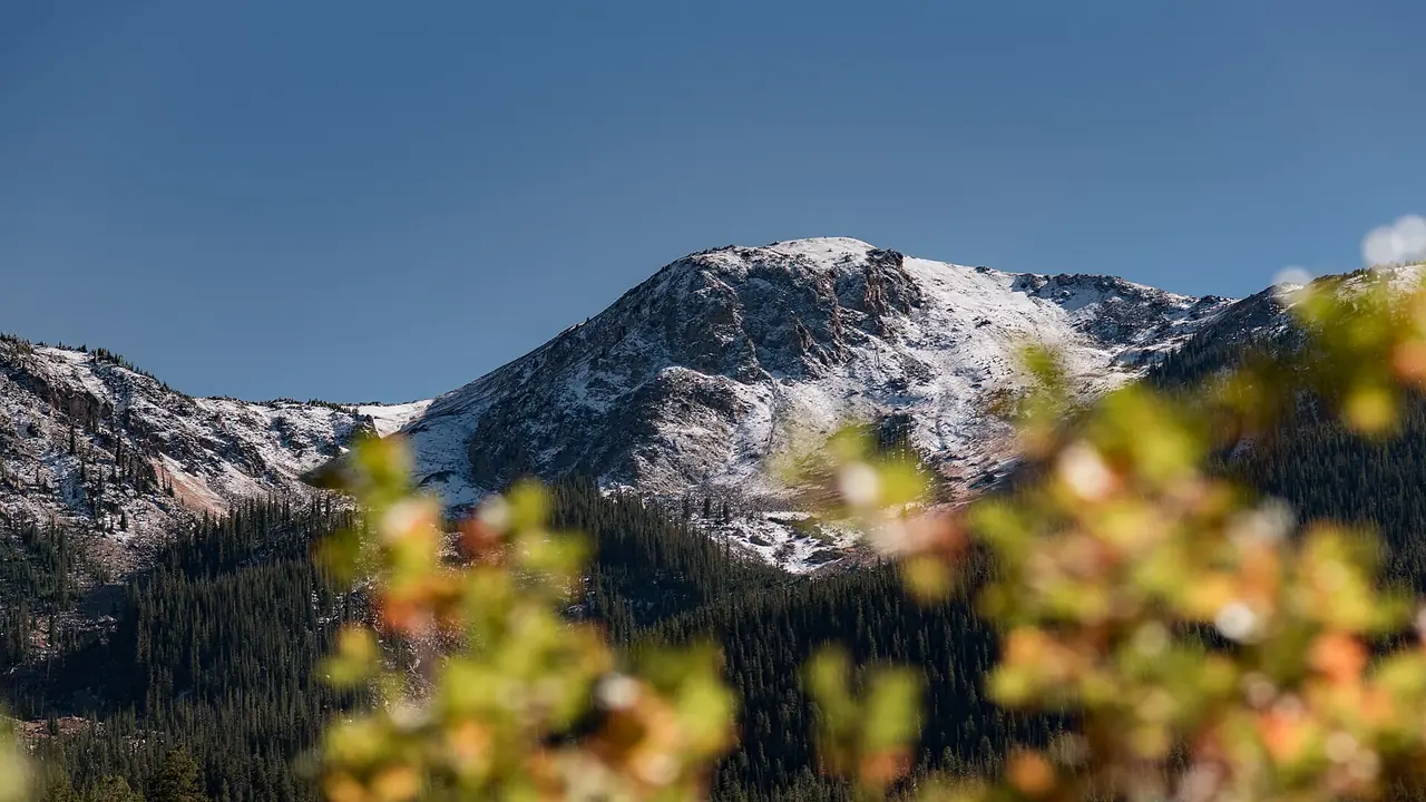
Read an elk-hunting topo map by checking its contour interval, following elevation along the entire walk and identifying which way each slope faces. For example, five intervals of 40 feet represent 200 feet of elevation change. That is map arithmetic, not a prediction of elk habitat. USGS explains the contour and scale conventions used below. [1]
The exercise on this page uses invented elevations so you can check every sum. It is not a route recommendation, a description of a particular unit or a field-tested navigation plan.
What does the contour interval tell you?
Every point on one contour line has the same elevation. The interval is the elevation change between adjacent lines, stated in the map margin. Heavier index contours carry elevation labels. Close spacing indicates a steeper slope; wider spacing indicates gentler ground. [1]
Suppose an index contour is labeled 8,000 feet and the legend says a 40-foot interval. Moving uphill through the next five intervals gives this sequence:
| Interval above the starting contour | Elevation |
|---|---|
| Start | 8,000 ft |
| 1 | 8,040 ft |
| 2 | 8,080 ft |
| 3 | 8,120 ft |
| 4 | 8,160 ft |
| 5 | 8,200 ft |
Count the gaps you cross, not the number of printed lines you can see. Read another elevation label to establish which direction is uphill. Nested lines alone are not enough to tell you whether the feature rises or falls; examine the labels and any depression symbols.
Check the units too. A contour interval stated in meters is not a number of feet. Changing a map app's distance display does not necessarily change the labels in the underlying map image.
Why is the difference between endpoints misleading?
Imagine leaving the truck at 8,000 feet. The path reaches 8,600 feet, drops to a creek at 8,200 feet and climbs to a stop at 8,800 feet.
| Leg | Uphill | Downhill |
|---|---|---|
| Truck to first high point | 600 ft | 0 ft |
| High point to creek | 0 ft | 400 ft |
| Creek to stop | 600 ft | 0 ft |
| Total one way | 1,200 ft | 400 ft |
The stop is only 800 feet higher than the truck, but reaching it takes 1,200 feet of uphill. Returning along the same path adds 400 feet of uphill and 1,200 feet of downhill. Neither direction is described adequately by "800 feet of climb."
That distinction matters when comparing two walks and when considering repeated carries. Use the pack-out calculator for a separate carry estimate, and record the route's total uphill rather than just subtracting the endpoints. These example sums are geometry; they do not establish a safe load or travel speed.
How can you tell which way a slope faces?
Aspect is the direction a slope faces downhill. With the map oriented north-up, find the high side, follow the fall toward lower contours and describe that direction. A ridge running north-south can have an east-facing side and a west-facing side. The ridge's direction is not the aspect of both slopes. [2]
The Illinois Natural History Survey's hunting education material explains why slope direction can affect solar exposure and plant communities. It does not make a north-facing patch a promise of elk, nor does an aspect label establish the wind you will encounter there. [2]
Practice on a slope you can see from a road or trail. Compare its direction with the map, then check another slope on the opposite side of the drainage. This is an exercise in recognizing the ground, not choosing an animal location.
Does a sunny aspect mean sunlight at sunrise?
Not necessarily. A higher ridge can block direct sunlight even when the slope faces toward the rising sun. Sunrise time and the time direct sunlight reaches a particular piece of terrain are different questions.
NOAA's solar calculator describes sun position and calculated sunrise and sunset. It also notes limitations in its calculations and that the calculator is no longer actively maintained. A time from that tool does not account for every local obstruction or establish hunting hours. [3] Use the state's rules and our separate legal shooting-light tool when planning the hunting day.
What cannot a contour map settle?
A blue stream symbol does not measure today's flow, depth or crossing difficulty. USGS distinguishes perennial and intermittent stream symbols, but neither symbol is a current observation. A road line is also not permission to drive it. [1]
For national forest motorized access, read the vehicle designation and seasonal table on the relevant MVUM. Check temporary restrictions separately. [4] See how to read an MVUM before treating a mapped road as the start of a walk.
Snow, ice, loose rock, downed timber and visibility can change what a route demands without changing a single contour. Check the local conditions sources, inspect uncertain ground in daylight and be willing to turn around. This page cannot assess a route's safety.
Put the map reading into your hunt notes
Write down the map edition and interval, your route's total uphill and downhill, and each unresolved crossing. Keep those notes with the route rather than only with a pin at its destination.
The Colorado e-scouting worksheet connects those measurements to access and camp checks. If you want that work supplied as a finished product, the hunt-plan service page describes the deliverables and limits without requiring a purchase to see the sample.
Sources
- U.S. Geological Survey, US Topo Map Symbol Guide: contours, interval, elevation, stream symbols and scale. The numbered examples here are invented arithmetic exercises.
- Illinois Natural History Survey, Reading and Understanding Topographic Maps: contour reading and slope aspect in hunter education.
- NOAA Global Monitoring Laboratory, Solar Calculator: sun position, sunrise and sunset calculations and stated limitations.
- U.S. Forest Service, Motor Vehicle Use Maps: vehicle class and seasonal designations. Use the map for the forest where you will travel.
Have a tag for this fall?
FilledTag builds one exact plan for it: where to park, camp and sit, with every pin checked against public land and road rules. Custom plans start at $39.99.