How to E-Scout a Colorado Elk Unit: A Worked Example
Compare three Colorado elk units with CPW's numbers, then record access, camp, walking time and the checks still needed before you leave.
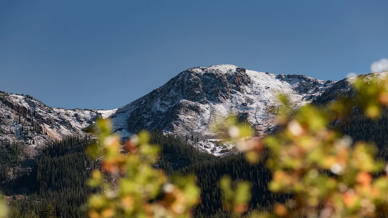
E-scouting a Colorado elk unit should leave you with a trip you can check: the right license, a route to public ground, a camp, a timed walk and an alternative if the first access fails. Start with the unit's own numbers, then write down what the map cannot confirm. Here is a worked comparison using CPW's 2024 second-rifle estimates, followed by a worksheet you can copy. [1]
This manual planning exercise helps you document a trip. It cannot tell you where an elk is standing.
What do three actual units tell you?
These are examples, not a recommended shortlist. All three appear on CPW's 2026 second- and third-rifle OTC bull list. Check the current brochure and your license before choosing ground. [2]
| Colorado unit | 2024 second-rifle hunters | Estimated elk harvested | Harvest per hunter, rounded |
|---|---|---|---|
| Unit 12 | 482 | 160 | 33% |
| Unit 24 | 482 | 23 | 5% |
| Unit 62 | 1,567 | 284 | 18% |
Source: CPW's 2024 elk harvest estimates, second-rifle rows. Harvest includes bulls, cows and calves where reported; it is not the bull-only result for an OTC license. These survey estimates cover the whole unit, including private land. They are not your chance of success. [1]
Units 12 and 24 had the same estimated hunter count and very different harvest totals. That does not establish which is a better trip for you. Unit 62 had more hunters and a larger harvest, but the table does not say how those hunters were distributed among roads or trailheads. You still need an access check.
Keep the year, species and season attached to any number you copy. A figure from another season answers another question. The harvest-table guide explains those distinctions before you compare more units.
What should you write down for an access point?
Choose one public-land entrance to investigate. Trace the whole approach, including the last road junction and the walk beyond the truck. A public destination does not establish permission to cross the ground between it and the highway.
For a national forest road, save the relevant Motor Vehicle Use Map and record the road number, permitted vehicle class and seasonal dates. The Forest Service publishes those designations separately from ordinary visitor maps. They describe authorized motorized use, not a promise that a road is passable today. [3]
Use the MVUM reading guide when the symbols or seasonal table are unclear. Ask the responsible district about temporary orders and current access. Do not label an unresolved route "open" in your notes.
How do you turn a map into a worksheet?
Copy this table once for each entrance you are considering. Keep the source beside the answer, rather than trying to remember where you saw it.
| Record | Your answer | Evidence still needed |
|---|---|---|
| Unit, hunt code and dates | Copy from your license | Check against the current CPW brochure |
| Last road to the truck spot | Road number and vehicle class | MVUM dates and current district orders |
| Ground crossed on foot | Each ownership change | Access rights for every segment |
| Camp | Coordinates and land manager | Local camping restrictions and a water plan |
| Morning walk | Route, miles and total uphill | Daylight inspection and your own travel time |
| Alternative entrance | A separate approach | Whether it shares the first route's failure |
| Carry back to the truck | Distance and climb for each load | Party capacity, conditions and actual route |
An alternative across the same closed bridge is not a separate approach. Neither is a second parking pin reached by the same uncertain road. Write down the particular problem each option avoids.
What should the terrain check change?
Read contours along the complete walk, not just around the place you want to reach. USGS contour lines join equal elevations; close spacing represents steeper ground. Check the map's contour interval before counting the climb. [4]
A route that drops into a drainage and climbs out has more uphill than the difference between its endpoints. Record both climbs. If a map leaves a creek crossing or a short steep section unclear, mark it for field inspection rather than assuming the rest of the route makes it manageable. The topographic-map exercise works through that arithmetic.
What gets checked again before departure?
Use a forecast for the place you intend to camp or walk, not the nearest town alone. Our Colorado hunt conditions check links local forecasts, snow observations and access sources. A snow reading at one station does not describe every slope in the unit.
Save your maps, access notes and alternative before losing service. Then open them with the phone offline. An icon saying a download finished is less useful than confirming that the actual ground, route and notes remain readable.
Finally, time a familiar walk with the pack you intend to carry. Use your own pace and leave a margin. The opening-morning timeline shows how to work backward from legal light once you have a travel estimate.
If you want a finished plan instead
The Colorado e-scouting service explains what FilledTag supplies for a tag. Compare its sample plan with your worksheet before deciding whether to buy. Either way, keep the unresolved checks visible. A detailed map is still not a field visit.
Sources
- Colorado Parks and Wildlife, 2024 elk harvest estimates. Unit 12, 24 and 62 second-rifle estimates; reproduced in the linked unit pages.
- Colorado Parks and Wildlife, 2026 Big Game brochure, OTC rifle bull unit list, page 40. Check for subsequent agency changes.
- U.S. Forest Service, Motor Vehicle Use Map data and designations and MVUM purpose and limitations. Vehicle classes and seasons are distinct from road condition.
- U.S. Geological Survey, US Topo Map Symbol Guide, contour lines, intervals and map scale.
Have a tag for this fall?
FilledTag builds one exact plan for it: where to park, camp and sit, with every pin checked against public land and road rules. Custom plans start at $39.99.