Colorado GMU 431 elk hunting: 2024 harvest and hunter numbers
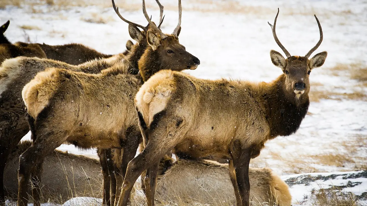
Unit 431, Pitkin County: 19% elk success in 2024, over-the-counter rifle elk in 2026, about 73% national forest and BLM land.
In 2024, an estimated 244 elk hunters hunted Game Management Unit 431 across all seasons and took 47 elk, a success rate of 19%. The statewide rate that year was 20%.
2nd rifle was the busiest rifle season, with 70 hunters, about 32 for every 100 square miles of the unit.
Among the 130 units with at least 100 rifle elk hunters, unit 431 ranked 41 for rifle success and 26 for fewest rifle hunters per square mile.
Unit 431 on the map: is it in your reach?
Unit 431 is lit on the map of the state. Say where you drive from and for how long, and a ring shows what that reaches. Pick another animal to see where it lives.
2024 elk harvest in unit 431, by season
| Season | Hunters | Harvest | Bulls / Cows / Calves | Success 2024 | Success 2023 | Hunters per 100 sq mi | Days per hunter |
|---|---|---|---|---|---|---|---|
| 1st rifle | 42 | 5 | 3 / 2 / 0 | 12% | - | 19 | 3.3 |
| 2nd rifle | 70 | 22 | 13 / 9 / 0 | 31% | - | 32 | 4.1 |
| 3rd rifle | 23 | 8 | 3 / 4 / 0 | 35% | - | 10 | 1.8 |
| 4th rifle | 16 | 9 | 0 / 9 / 0 | 56% | - | 7 | 1.4 |
| All rifle seasons | 150 | 44 | 19 / 24 / 0 | 29% | - | 68 | 3.3 |
| Archery | 71 | 3 | 3 / 0 / 0 | 4% | - | 32 | 5.6 |
| Muzzleloader | 23 | 0 | 0 / 0 / 0 | 0% | - | 10 | 5.0 |
| All seasons and methods | 244 | 47 | 23 / 24 / 0 | 19% | - | 111 | 4.1 |
What these rows cover, and why public land runs busier.
Is unit 431 over the counter for elk in 2026?
Yes. Unit 431 is on the 2026 over-the-counter list for rifle elk. Over-the-counter licenses are unlimited in number and went on sale on Aug 4.
Valid here with no limit particular to unit 431: E-M-000-U2-R (2nd), E-M-000-U3-R (3rd), E-E-000-U1-A and E-F-000-U1-A. Their dates, who can buy them and prices: every 2026 over-the-counter elk unit.
Every other elk license for unit 431 is limited (which ones). Read from the 2026 Colorado Big Game brochure: check it before you buy.
How many preference points does it take to draw unit 431 elk?
In Colorado's 2026 primary draw, the elk hunt code for unit 431 that took the most resident preference points was EF043P5R (cow, rifle, private land only): 1 points for residents and 1 for nonresidents. Residents could draw 7 of the unit's 8 limited elk codes with no points.
Also valid in unit 431, with their points by year on another unit's page: EF043P5R, EE043O1R, EF043O1R, EE043O4R, EE043P1R, EF043O2R, EF043O3R, EF043O4R (unit 43).
Each cell is CPW's "drawn out at" figure (what it, "2nd+ choice" and "leftover" mean). How codes are matched to the unit. Source: Colorado Parks and Wildlife, 2026 Primary ELK Post Draw Report and the draws before it (every report). Every elk hunt code · how points work.
Which other 2026 elk licenses are valid in unit 431?
Besides the drawn hunt codes above, 2 more elk hunt codes can be hunted in unit 431 in 2026.
| Hunt code | Sex | Season | Dates | Notes |
|---|---|---|---|---|
| E-M-000-U2-R | Bull | 2nd rifle unit 431 in 2024, 70 hunters, 32% success | Oct 24 to Nov 1 | Over the counter; Valid in 90 units |
| E-M-000-U3-R | Bull | 3rd rifle unit 431 in 2024, 23 hunters, 34% success | Nov 7 to Nov 15 | Over the counter; Valid in 90 units |
Read from the 2026 Colorado Big Game brochure. Which codes are left out. How to read a hunt code.
2026 rifle season dates
- 1st rifle: Oct 14-18
- 2nd rifle: Oct 24-Nov 1
- 3rd rifle: Nov 7-15
- 4th rifle: Nov 18-22
Unit 431 elk: the record by year and by license
How much of unit 431 CPW maps as elk range
Elk: CPW maps 100% of unit 431 as overall range, 98% as summer range, 20% as winter range and 4% as severe winter range.
| CPW range layer | Share of unit 431 | Square miles |
|---|---|---|
| Elk: overall range | 100% | about 220 |
| Elk: summer range | 98% | about 216 |
| Elk: summer concentration area | 5% | about 11 |
| Elk: winter range | 20% | about 44 |
| Elk: winter concentration area | 5% | about 11 |
| Elk: severe winter range | 4% | about 9 |
| Elk: production (calving) area | 4% | about 9 |
| Elk: resident population area | 4% | about 9 |
What each layer means, how it is measured, and the map.
Unit 431's elk herd unit, E-15
CPW manages elk by herd units (Data Analysis Units) and places unit 431 in E-15, one of 3 units in it. CPW's 2025 survey for E-15: 3,089 elk hunters took 420 elk, 14% success, over 16,812 days.
Herd unit from CPW's GMU layer (CPWAdminData, read 2026-10-29); figures from the 2025 Colorado Elk Harvest Estimates.
CPW's 2025 survey figures for 8 more codes valid in unit 431 and other units are on the unit 43 page (EF043O1R, EF043O2R, EF043O3R, EF043O4R, EF043P5R, EE043O1R, EE043O4R, EE043P1R).
Applicants by draw year for 8 more codes valid in unit 431 and other units are on the unit 43 page (EE043O1R, EE043O4R, EE043P1R, EF043O1R, EF043O2R, EF043O3R, EF043O4R, EF043P5R).
Named streams, summits, springs and towns in unit 431
USGS names 27 summits, 24 streams, 15 canals, 9 lakes, 7 gaps, 5 reservoirs, 5 valleys and 2 populated places inside the unit. The longest named streams: Capitol Creek (11.5 mi from source to mouth), Conundrum Creek (8.7 mi from source to mouth), Maroon Creek (8.2 mi from source to mouth), East Maroon Creek (6.8 mi from source to mouth), Willow Creek (6.3 mi from source to mouth), West Maroon Creek (6 mi from source to mouth), Brush Creek (5.9 mi from source to mouth) and East Snowmass Creek (4.9 mi from source to mouth).
Named summits (the 6 highest of 27): Castle Peak, 14,258 ft, Maroon Peak, 14,133 ft, Maroon Bells, 14,133 ft, Capitol Peak, 14,081 ft, Conundrum Peak, 14,027 ft and North Maroon Peak, 14,012 ft.
Named springs: Conundrum Hot Springs.
Named lakes and reservoirs: American Lake, Cathedral Lake, Crater Lake, Maroon Lake, Pierre Lakes, Silver Dollar Pond, Snowmass Lake and Whites Lake.
Towns and settlements inside the line, with their ground elevation: Ashcroft (9,521 ft) and Snowmass Village (8,208 ft).
USGS GNIS names (Colorado file, downloaded 2026-10-29) and 3DEP elevations (how measured). Named places are not access.
Elevation bands and tree cover of unit 431: on the unit 431 deer page.
Which national forest roads in unit 431 are open in rifle season?
The Forest Service's Motor Vehicle Use Maps designate about 4.5 miles of road inside unit 431, on 12 routes of the White River National Forest: 0 miles open to all vehicles and 4.5 to highway-legal vehicles only; 4.1 miles are open only part of the year. On every 2026 rifle opener (Oct. 14, Oct. 24, Nov. 7 and Nov. 18), 4.1 miles are open to a high-clearance vehicle.
| Forest road | Name | Miles inside unit 431 | Open to | Dates open, high-clearance vehicles |
|---|---|---|---|---|
| 129.1 | Montezuma | 2.3 | highway-legal vehicles only | 05/21-11/22 |
| 127.1 | Cathedral Lake | 0.6 | highway-legal vehicles only | all year |
| 125.1E | Maroon Lake | 0.5 | highway-legal vehicles only | 05/21-11/22 |
USDA Forest Service, Motor Vehicle Use Map: Roads, read 2026-10-29 (how these miles are measured). How to read a Motor Vehicle Use Map before you drive.
What roads run through unit 431?
Census TIGER/Line 2025 maps about 304 miles of road inside unit 431's line, 1.4 miles for every square mile: 25.8 miles of secondary highway, 262.7 miles of local and county road, 8.8 miles of vehicular trail (four-wheel-drive track) and 2.2 miles of private service road. 411 named roads cross the unit; the longest inside it is State Hwy 82, 25.7 miles.
| Named road | Census class | Miles inside unit 431 | Ground along it |
|---|---|---|---|
| State Hwy 82 | secondary highway | 25.7 | 6,849 to 7,925 ft |
| Co Rd 11 | local or county road | 13.3 | 6,887 to 8,928 ft |
| Snowmass Creek Rd | local or county road | 12.3 | 6,887 to 8,952 ft |
| Maroon Creek Rd | local or county road | 9.6 | 7,921 to 9,612 ft |
| Co Rd 13 | local or county road | 9.6 | 7,921 to 9,612 ft |
| Castle Creek Rd | local or county road | 7.7 | 7,921 to 9,762 ft |
| Co Rd 15 | local or county road | 7.7 | 7,922 to 9,762 ft |
| Highlands Summer Rd | local or county road | 6.1 | 8,284 to 11,576 ft |
| Brush Creek Rd | local or county road | 6 | 7,552 to 8,844 ft |
| Co Rd 10 | local or county road | 5.8 | 7,552 to 8,844 ft |
| Owl Creek Rd | local or county road | 5.7 | 7,764 to 8,356 ft |
| Lake Wildcat Way | local or county road | 5.6 | 7,354 to 8,511 ft |
| Co Rd 12 | local or county road | 5.5 | 7,766 to 8,353 ft |
| Buddy Rd | local or county road | 4.5 | 7,758 to 8,456 ft |
| Lake Wildcat Rd | local or county road | 4.3 | 7,644 to 8,544 ft |
| Juniper Hill Rd | local or county road | 4 | 7,474 to 8,964 ft |
| Lazy O Rd | local or county road | 3.6 | 7,126 to 7,386 ft |
| W Buttermilk Rd | local or county road | 3 | 7,856 to 8,798 ft |
| Wildcat Way | local or county road | 2.8 | 7,350 to 7,856 ft |
| Alpine Springs Access Rd | local or county road | 2.7 | 9,117 to 10,456 ft |
| Popish Rd | local or county road | 2.6 | 7,925 to 8,439 ft |
| Faraway Rd | local or county road | 2.5 | 8,275 to 8,939 ft |
| Capitol Creek Rd | local or county road | 2.4 | 6,887 to 7,739 ft |
| Medicine Bow Rd | local or county road | 2.2 | 7,567 to 8,345 ft |
| Sams Knob Rd | local or county road | 2 | 9,411 to 10,617 ft |
U.S. Census Bureau TIGER/Line 2025 roads, downloaded 2026-10-29; ground along each road from USGS 3DEP (how measured, and why a mapped road is not access).
Wilderness and protected areas, slope, land cover and the way slopes face of unit 431: on the unit 431 deer page.
Public land and boundary of unit 431
Unit 431 covers about 220 square miles in Pitkin County.
About 73% of unit 431 is federal land that is generally open to hunting: 71% national forest or grassland and 1% BLM. The rest of the unit.
State land adds to that: 1 state wildlife area, about 486 acres in or touching the unit. The largest is Williams Hill SWA. Each has its own rules and closed dates: the rules for every CPW property in unit 431.
Shared notes: Elk units.
Public land in every unit Legal shooting hours for your dates Pack-out calculator First-hunt course
Ground in the unit runs from about 7,200 to 13,200 feet.
The official boundary of unit 431, as the 2026 Colorado Big Game brochure describes it, is on the unit 431 deer page.
More on the ground in unit 431
The parts of unit 431 that are the same whatever you hunt are on the unit 431 deer page:
- Other big game licensed here: pronghorn (1 code), black bear (4 codes) and moose (4 codes).
- 27 small game, upland bird and waterfowl seasons open in the unit in 2026-27.
Hunting unit 431 this fall?
Numbers tell you how busy a unit is. They do not tell you where to park, camp and sit. FilledTag builds one exact plan for your tag, with every pin checked against public land and road rules. Custom plans start at $39.99.
Map data for unit 431 has been downloaded. We still need to check whether your hunt has suitable public-land options. Some requests return no qualifying areas.
E-scouting unit 431: what it costs
A FilledTag plan for unit 431 is $39.99, or $79.99 for up to three plans in a season. You can check your hunt free first to see that the unit and your start point are covered. See what e-scouting services cost and what you get.
Unit 431 beside its neighbours
| Unit | Rifle hunters 2024 | Rifle success 2024 | Rifle hunters per 100 sq mi | National forest and BLM |
|---|---|---|---|---|
| Unit 431 (this unit) | 150 | 29% | 68 | 73% |
| Unit 47 | 389 | 17% | 132 | 91% |
| Unit 471 | 112 | 12% | 108 | 88% |
| Unit 43 | 1,597 | 23% | 304 | 72% |
| Unit 444 | 803 | 24% | 216 | 63% |
| Unit 521 | 1,236 | 16% | 243 | 74% |
| Unit 48 | 184 | 35% | 61 | 85% |
Every rifle season together, from the 2024 Colorado Elk Harvest Estimates (what the rows cover, how neighbours are chosen).
Compare these units side by side See unit 431 on the free hunting map Check unit 431 forecasts and nearby snow stations Unit 431 deer All elk units
Where these numbers come from
CPW's 2024 Colorado Elk Harvest Estimates and its 2023 report; how CPW's survey works.